
Building an Independent Field Publication
We founded Outstride after spending years dealing with inaccurate online travel blogs and generic tourism listicles. Most mainstream travel content is compiled from outdated forum posts or funded by regional tourism boards, leaving hikers with dry water points and washed-out roads.
We decided to run an independent editorial journal where every single trail is scouted in person. Our field editors walk the routes with GPS loggers, map exact elevation profiles, and print field guides on tear-resistant stone paper 140gsm to withstand the elements.
We remain completely independent. We do not accept sponsored route ratings or brand sponsorships, ensuring our readers receive objective trail facts and reliable navigation data.
First-Hand Verification
We never publish trail notes second-hand. If our staff has not walked the dirt, the route does not go live.
Zero Commercial Placement
Our trail assessments remain completely independent. We accept no paid promotion from tourism boards or gear sponsors.
Practical Precision
We focus on actionable facts like water availability, bushwhack density, and elevation changes. Fluff has no place on a mountain ridge.
Core Reporting Standards
Zero sponsored trail rankings
No paid promotions or commercial bias influence our trail recommendations.
Boots on the ground
Staff scouts navigate and document every route in person prior to publishing.
Precision elevation profiles
We publish true GPS tracks instead of estimated contour approximations.
Seasonal access updates
River crossings, snowpack thresholds, and trail washouts get audited weekly.
Technical route data
Read exact spring coordinates, bushwhack ratings, and legal bivouac waypoints.
Clear hazard reporting
We detail scree fields, river fords, and cliff exposures without downplaying risk.
How We Audit Route Information
Every route is walked by staff navigators who verify GPS tracklogs against public land surveys. Field notes and print editions are inspected for legibility and coordinate accuracy prior to release.
We walk every trail with dual GPS loggers, auditing elevation changes and seasonal hazards before publishing a single coordinate.
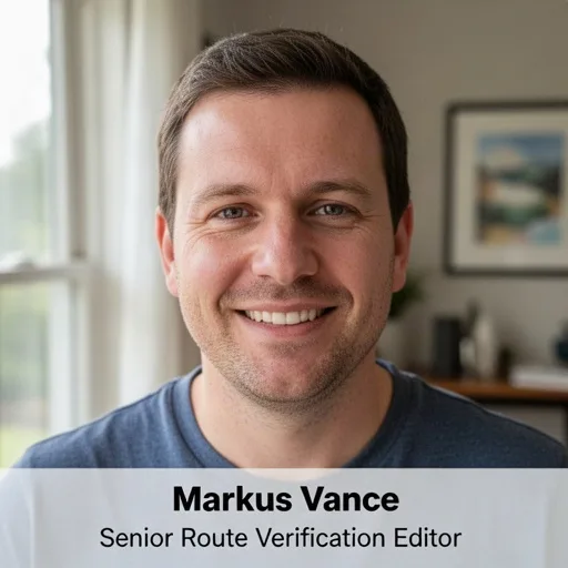 Markus VanceSenior Route Verification Editor
We document regional backcountry routes through first-hand fieldwork. Readers get exact coordinates, elevation profiles, and transparent trail notes without promotional clutter.
Contacts