Trail mileage signs mislead hikers. A flat three-mile stroll across river gravel takes under an hour, but that same distance over broken limestone ridges with 1,800 feet of climb can eat four hours of daylight. In hill country where topo lines crowd together, horizontal distance gives you only a fraction of the story. If you build your itinerary strictly on flat-ground speed, you will run out of daylight long before you run out of trail.
William Naismith, a Scottish mountaineer, formalized the relationship between horizontal distance and vertical ascent in 1892. His rule gives hill walkers an objective baseline to calculate moving time before setting foot on the dirt. Modern route planning still relies on this core formula, but real-world hill country demands corrections for ankle-deep mud, deadfall, heavy overnight packs, and group bottlenecks. Here is how to apply the rule accurately and dial in your actual arrival times.
The basic formula: horizontal pace meets vertical gain
Naismith's original formula balances forward travel against gravity. The baseline assumes a fit adult walking on reasonable paths. Allocate one hour for every three miles of horizontal distance, plus one hour for every 2,000 feet of ascent. Expressed in smaller working increments, that breaks down to 20 minutes per mile of forward progress, plus 30 minutes for every 1,000 feet gained (or three minutes per 100 vertical feet).
Consider an 8.4-mile ridge loop with 2,600 feet of cumulative elevation gain. Calculate horizontal travel time first: divide 8.4 miles by 3 miles per hour to get 2.8 hours (two hours and 48 minutes). Next, calculate the vertical component: divide 2,600 feet by 2,000 feet per hour to get 1.3 hours (one hour and 18 minutes). Sum the two numbers. Your baseline moving time is four hours and six minutes, excluding stops.
This formula assumes clean, hard-packed earth and an unburdened day walker. It also treats all elevation gain equally, whether that gain is spread across four miles of gentle 6-percent logging road or concentrated into a half-mile pitch at a 28-percent grade. Steep terrain spikes energy expenditure quickly, meaning Naismith serves as your starting minimum, not an ironclad estimate.
Modifying times for muddy switchbacks and heavy pack loads
Real hills rarely offer dry crushed gravel. When rain turns shale or red clay into grease, forward propulsion drops. In 1972, Scottish mountain guide Eric Langmuir published corrections to Naismith that added time for steep descents and rough surfaces. On loose talus, boulder fields, or slick clay switchbacks, your footing slips with every stride, forcing stabilizing muscles to work double time.
Add a penalty directly to your horizontal baseline based on footing. For slick, boot-sucking mud or loose river stone, drop your assumed horizontal speed from 3.0 miles per hour down to 2.0 or even 1.5 miles per hour. For descents steeper than a 20-percent grade (dropping more than 1,000 feet per mile), Langmuir recommends adding 10 minutes per 1,000 feet dropped to account for knee braking, heel checking, and balance correction. Only on gentle, runnable declines (grades between 5 and 12 percent) should you subtract time: deduct roughly five minutes per 1,000 feet descended.
Pack weight imposes a predictable physiological penalty. Carrying up to 18 pounds (a standard day pack with water, food, and layers) fits inside standard Naismith baselines for an average hiker. Once pack weight climbs toward weekend or multiday loads, adjustment is non-negotiable. Use the following baseline field modifiers to calibrate your plans:
| Condition Factor | Trail Reality | Adjustment to Naismith Base |
|---|---|---|
| Light Day Pack (under 18 lbs) | Packed dry singletrack, moderate grades | No adjustment (Base: 3 mph + 30 min/1,000 ft climb) |
| Weekend Pack (30 to 38 lbs) | Packed dirt, moderate inclines | Reduce flat speed to 2.3 mph; add 36 min/1,000 ft climb |
| Expedition Pack (45+ lbs) | Any grade, self-supported backcountry | Reduce flat speed to 1.8 mph; add 45 min/1,000 ft climb |
| Wet Clay / Ankle-Deep Mud | Slick switchbacks, poor drainage | Reduce flat speed by 35 percent across all sections |
| Steep Descent (over 20% grade) | Loose scree, rocky drop-offs | Add 10 minutes per 1,000 feet descended |
If you take the earlier 8.4-mile route with 2,600 feet of climb, but carry a 35-pound pack after an autumn rainstorm, the math shifts dramatically. Your horizontal pace drops to 2.3 miles per hour (three hours and 39 minutes). The 2,600 feet of ascent at 36 minutes per 1,000 feet adds one hour and 34 minutes. Your revised moving time climbs from four hours and six minutes to five hours and 13 minutes, an increase of more than an hour before taking your first break.
Planning for group pacing differences on sustained climbs
A group moves only as fast as its slowest member on an uphill grade. When four people of varying fitness hike together, the gap between the fastest and slowest stretches wider with every 100 feet of ascent. If the lead hiker pushes an aggressive pace, the trailing hikers redline their heart rates, burn through glycogen reserves, and hit muscular failure miles before camp.
To keep the party safe, audit the group during the planning phase. Identify the hiker with the lowest aerobic capacity or the heaviest pack-to-bodyweight ratio. Calculate the itinerary based entirely on their historical pace, not an aspirational average. If your group includes a hiker who covers flat miles at 2.2 miles per hour and climbs at 45 minutes per 1,000 feet, you must budget the entire team around those metrics.
Enforce an accordion management protocol on sustained climbs. Avoid letting faster hikers sprint ahead 500 yards and sit down to wait. When the slower hikers finally catch up, the faster hikers stand up and say, "Ready to go?" That denies the trailing hikers their rest. Instead, place the slowest climber second in line, directly behind an experienced navigator who locks in a steady, conversational pace. This stops the group from stringing out across blind switchbacks and eliminates the constant rubber-banding effect.
Factoring resting pauses and water filtering waypoints
Naismith outputs moving time, not elapsed time. Many hikers reach the trailhead, look at a four-hour estimate, and expect to finish four hours after turning the ignition key off. In hill country, non-moving time eats between 15 and 25 percent of your total daylight window. If you ignore stop intervals, your four-hour hike will routinely take five and a half hours on the ground.
Build fixed rest blocks into your route profile. On steep terrain, plan a five-minute pack-on blow after every 400 to 500 feet of vertical gain. This allows heart rates to drop below lactate threshold without cooling the leg muscles down to shivering levels. Every two hours, schedule a 15-minute pack-off stop for electrolyte replenishment, foot checks, and map resections.
Water processing requires dedicated time blocks that topo maps do not calculate. If your route relies on seasonal creeks, factor in the chore time based on your treatment method:
- Squeeze or pump filters: Budget 12 to 15 minutes per stop. This covers scrambling down the bank, clearing sediment, pumping three liters per person, securing the bladder, and clambering back to the trail.
- Gravity bags: Budget 20 minutes minimum. Setup takes three minutes, filtration runs at roughly one liter per three minutes through clean hollow-fiber elements, and packing away wet bladders adds extra handling time.
- Chemical treatment (chlorine dioxide or iodine): Budget five minutes to gather and dose, followed by a mandatory 30-minute waiting period before drinking. If treating cold or turbid water, wait times can jump to four hours for cryptosporidium eradication.
Logistical tasks take time. Blister care, taking off a shell layer, tightening trekking pole flick-locks, and answering calls of nature add an average of seven minutes per mile to your day. Track both moving time and total elapsed time on your wrist unit to dial in your personal break ratio over successive trips.
Setting realistic turnaround cutoffs based on twilight tables
Twilight is not a matter of guesswork. Sunset marks the moment the trailing edge of the sun dips below the horizon, but usable light continues until the end of civil twilight, when the sun sits six degrees below the horizon. In hill country, steep canyon walls and thick timber can kill usable light 45 minutes before civil twilight ends on an open plain.
Consult local astronomical tables for your specific latitude and date. Never use generic sunset times pulled from a regional weather forecast 40 miles away. Note civil twilight, and use that timestamp as your absolute emergency ceiling. If you are not off the ridge or inside camp by civil twilight, you will be negotiating roots, loose rock, and drop-offs by the narrow beam of a headlamp.
Calculate your hard turnaround cutoff by working backward from your safety deadline:
- Determine final arrival time: Pick a hard finish time at least 30 minutes before official sunset. This provides an immediate margin for error before civil twilight begins.
- Calculate descent and egress duration: Run the modified Naismith calculation on the return leg. Include the descent penalty for steep terrain (10 minutes per 1,000 feet dropped on grades over 20 percent) and pack-fatigued leg speed.
- Add mandatory break allowances: Add 10 minutes per hour of calculated descent to account for fatigue, headlamp deployment, and trail navigation in fading light.
- Establish the trigger time: Subtract the total return travel time from your final arrival time. The resulting minute is your turnaround cutoff.
If your target trailhead return is 5:30 PM, and your descent requires two hours and 15 minutes of moving time plus 25 minutes of rest, your turnaround time is 2:50 PM. When your watch hits 2:50 PM, you pivot and head down. It does not matter if you are 200 yards from the false summit or the scenic overlook. Discipline at the turnaround cutoff prevents search-and-rescue mobilizations.
Common mistakes
- Treating descent as free time: Gravity aids forward momentum, but steep downhills hammer quadriceps and stress the meniscus. On grades above 15 percent, your pace often slows to match or drop below your flat-walking speed to maintain stability.
- Ignoring valley light shadows: A ridge may catch direct evening sunlight until 6:15 PM, but the deep draw below it could drop into pitch darkness by 5:15 PM. Always evaluate the elevation profile of your final two miles when calculating your daylight margins.
- Failing to adjust for ambient heat: Naismith assumed cool, crisp Scottish air. When temperatures climb above 85 degrees Fahrenheit with high humidity, your cardiovascular output spikes. Increase your total time calculation by 15 to 20 percent on exposed, heat-stressed ascents.
- Relying entirely on electronic track files: Digital route aggregators frequently calculate moving times based on high-speed trail runners or unencumbered hikers. Never accept a crowd-sourced trip time without checking the underlying distance and elevation metrics yourself.
Practical next steps
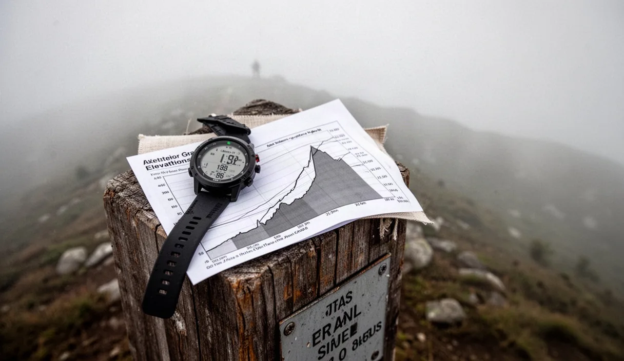
Run a calibration hike on a known local route. Pick a trail between three and five miles long that features at least 800 feet of climbing. Load your pack with your standard trail kit, weigh it on a luggage scale, and track your trip using an altimeter watch or mapping app. Do not pause your tracker at water breaks or gear adjustments. Capture pure moving time and gross elapsed time.
Compare your recorded split times against raw Naismith calculations. If your climb took 42 minutes per 1,000 feet instead of 30 minutes, your baseline uphill multiplier is 1.4. Write your personal multipliers down on an index card: flat mile pace, climbing pace per 1,000 feet, and break minutes per hour. Tape that card to the inside lid of your top-loading pack or save it to your navigation tools. When planning your next hill country trek, apply your personal numbers to the topo map before you lace your boots.